After the August flash flood, half of the roads were still not passable, but those left still allowed access to some memorable points. Here are some pictures.
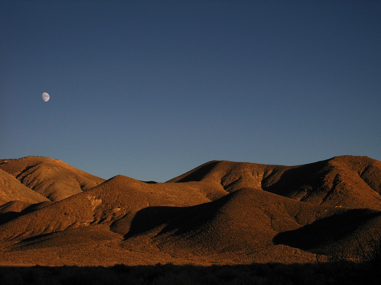
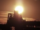
Moon rising over the Emigrant Canyon
|
Death Valley |
|
Death Valley is different, special, unique — you name it. The first time I went there in the early Nineties; in September of 2004 I came back with Agnieszka.
After the August flash flood, half of the roads were still not passable, but those left still allowed access to some memorable points. Here are some pictures. |
Moon rising over the Emigrant Canyon | |
|
|
|
|
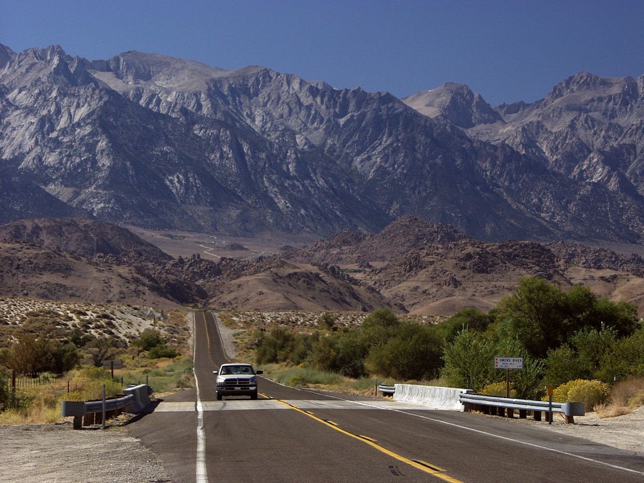
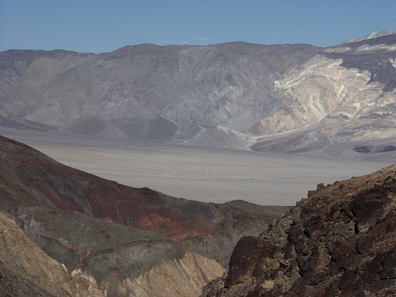
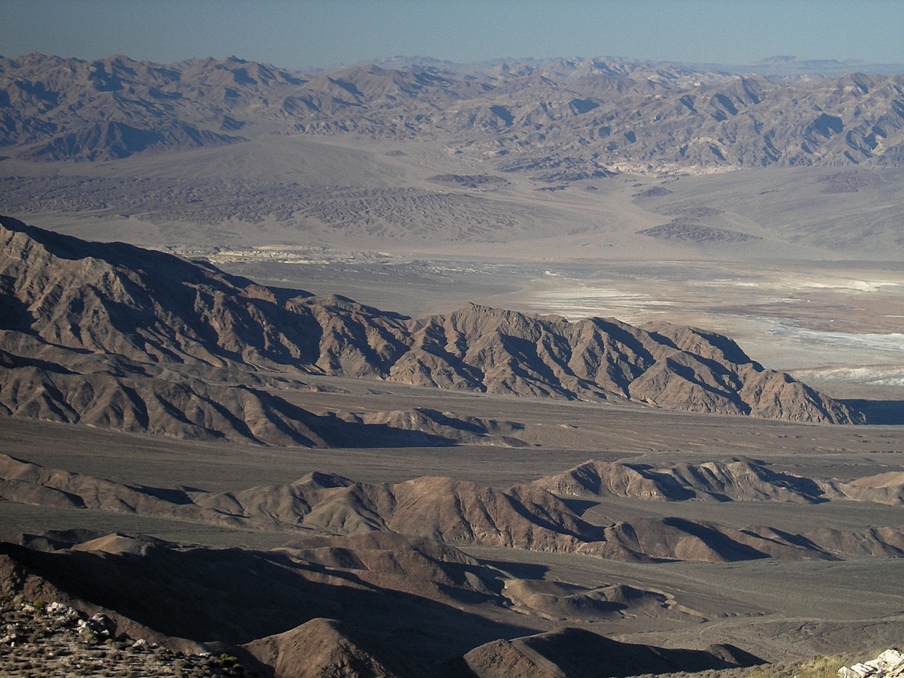
| The scenic road to Death Valley from Lone Pine, CA | The Valley as seen from the Augereberry Point (almost 2 kilometers over the valley bottom). Gene Augereberry built the road himself, to let others enjoy the view. | |
|
|
|
|
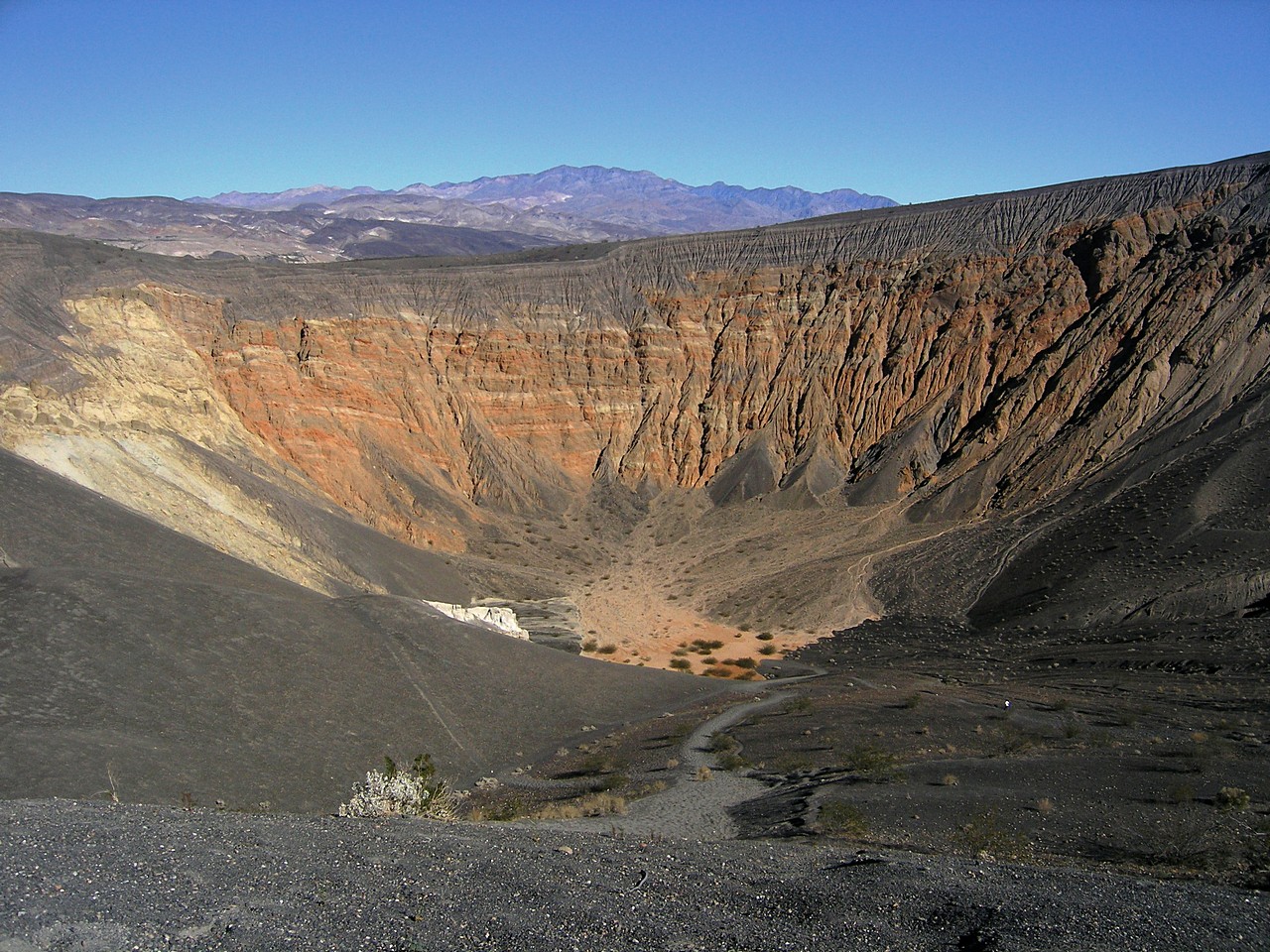
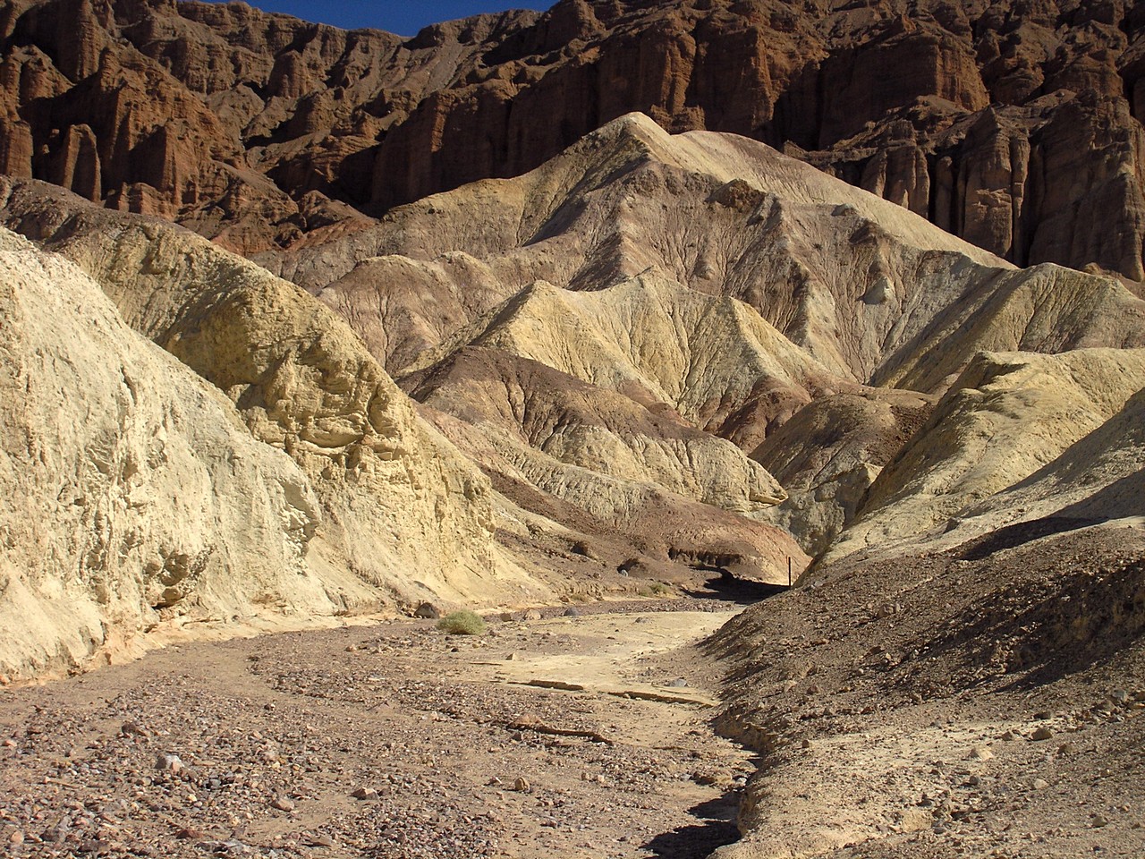
| Emigrant Canyon in the Death Valley | The Ubehebe Crater, north of the Valley | Somewhere in the Valley... |
|
|
|
|
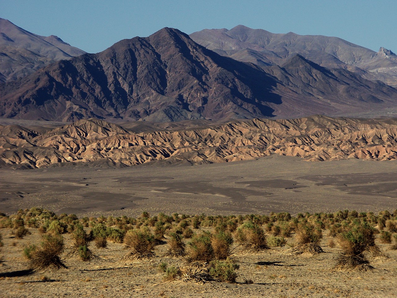
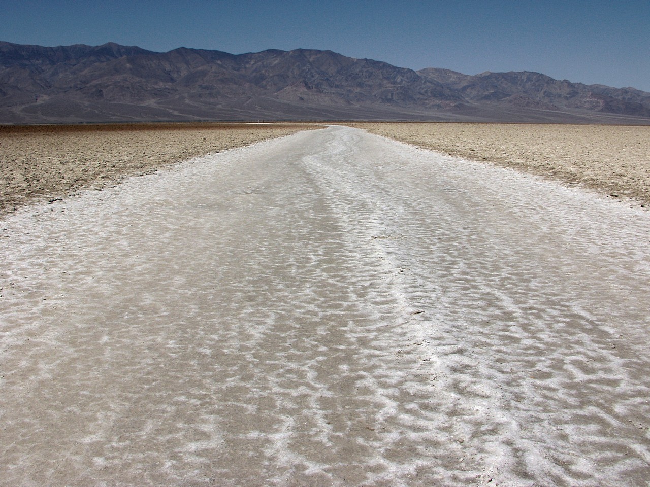
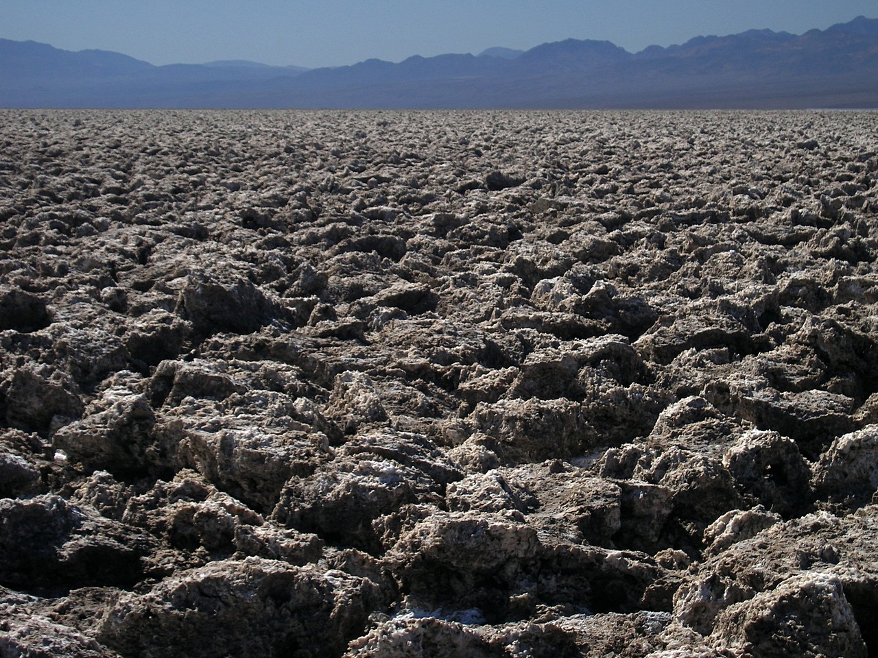
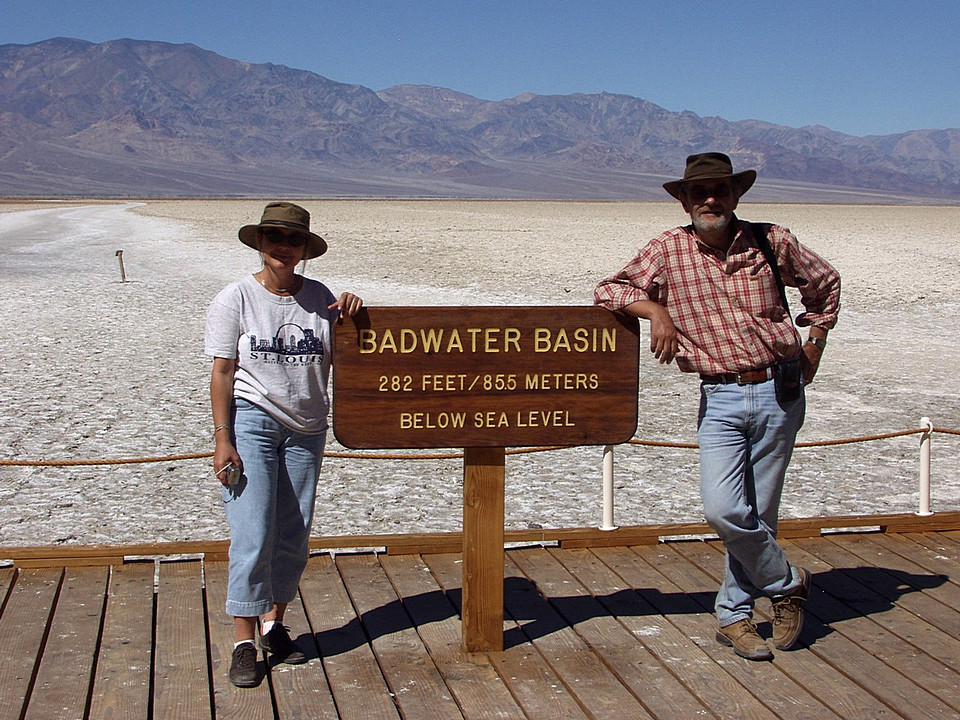
| On the Desolation Trail | The valey bottom (85 m below sea level) is very salty | |
|
|
|
|
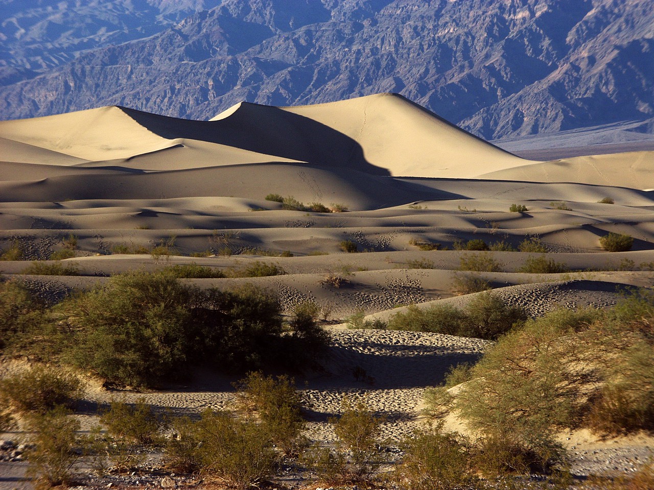
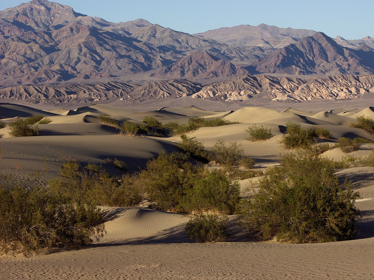
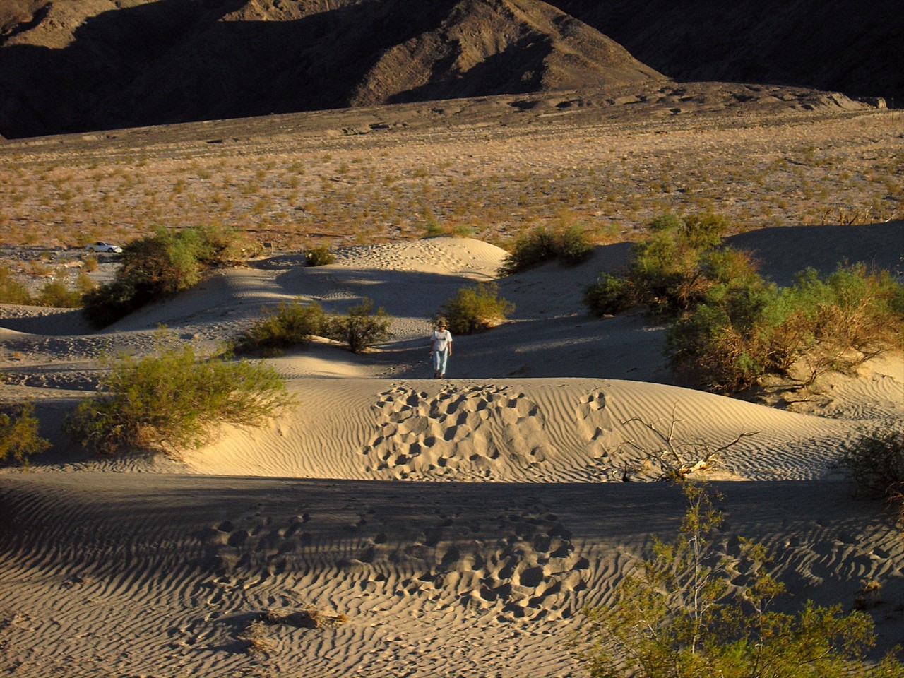
| Sand dunes near Stovepipe Wells, late afternoon | ||
|
|
|
|
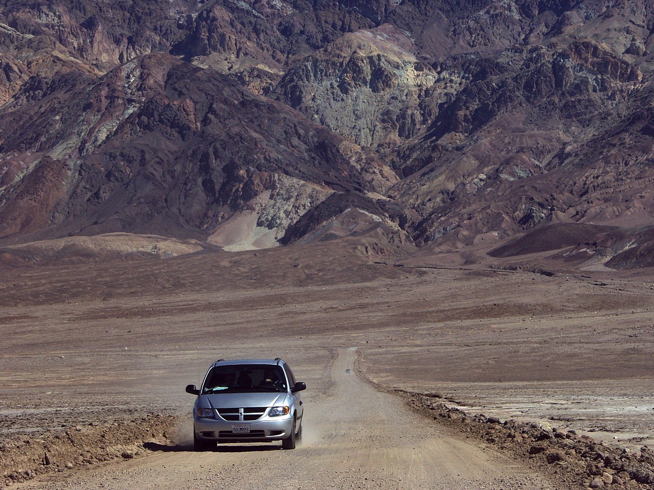
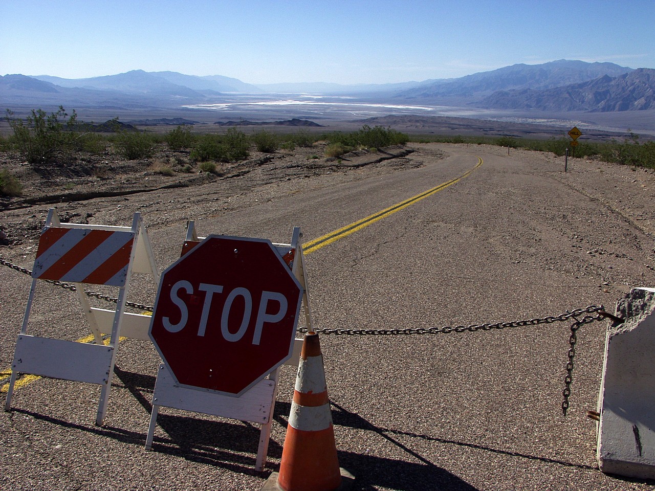
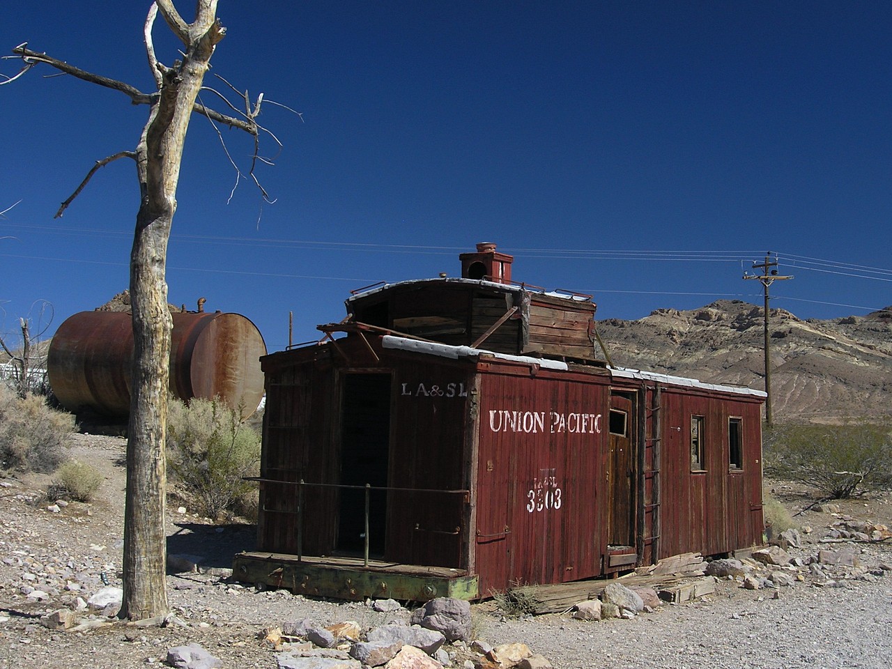
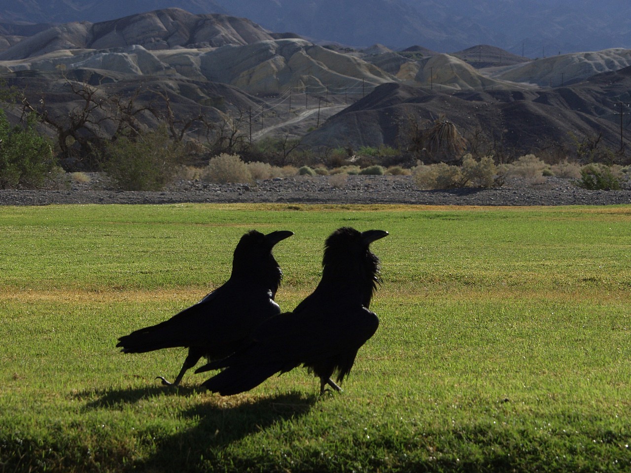
| A road closed after flood damage | The ghost town of Rhyolite | Dancing ravens at the Furnace Creek Ranch |
| Back to my Gallery |
|
Pictures © 2004 by J.Andrzej Wrotniak
Feel free to use them for non-commercial purposes
Equipment: Olympus E-20 and C-5060Z |
|
| Home: wrotniak.net | Search this site | Change font size |
| Posted 2004/12/06; last updated 2014/01/25 | Copyright © 2004-2014 by J. Andrzej Wrotniak. |